
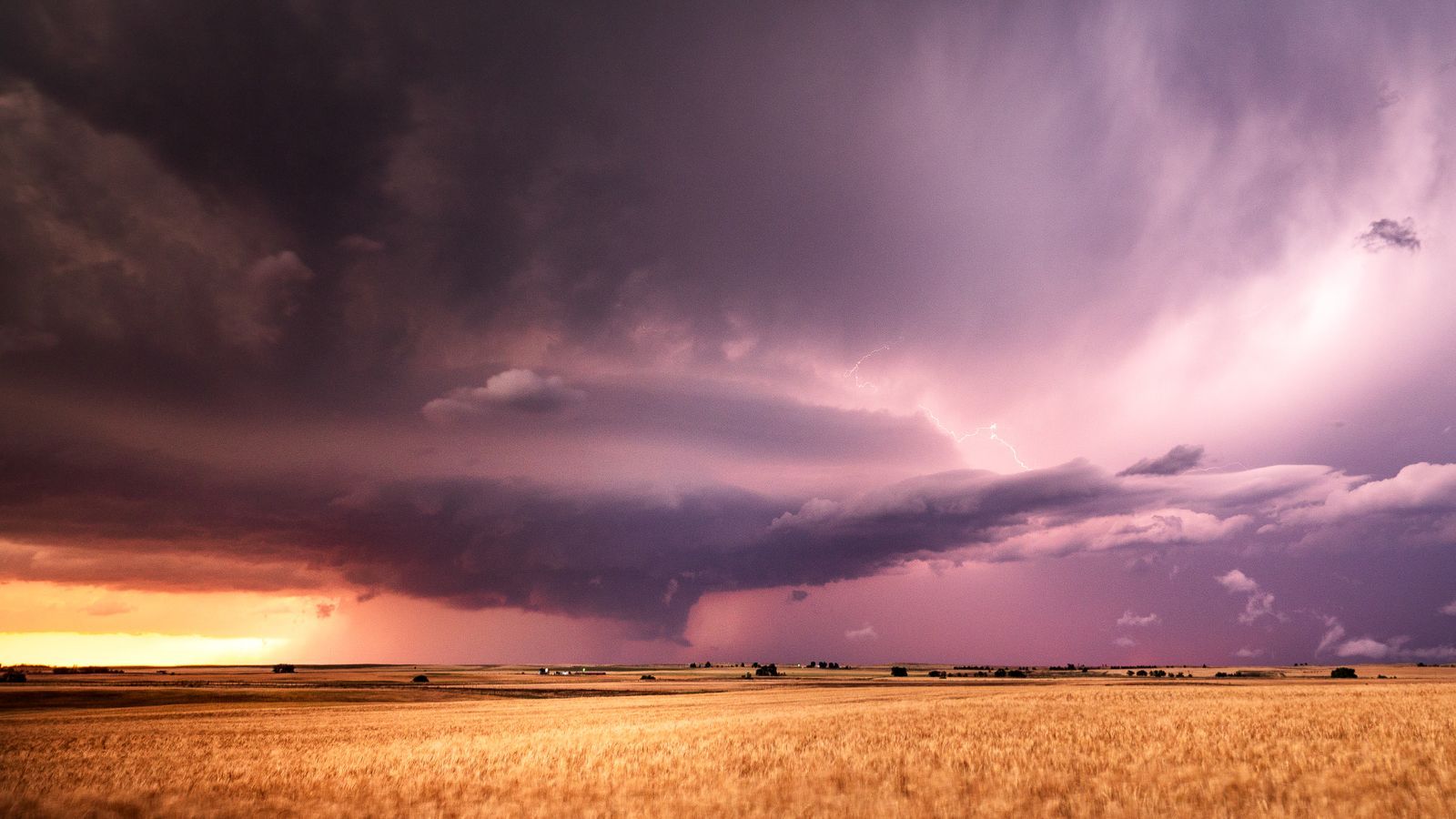
A seven-day forecast tells you it will be hot and dry. It does not tell you what that means for a flowering cotton crop on a sandy loam field that was last irrigated four days ago. The forecast is a description of the atmosphere; the decision a farmer actually needs sits one translation layer further in — at the intersection of weather, crop stage, soil type and recent field history.
This is the distinction between weather information and climate intelligence. One describes conditions in general. The other interprets what those conditions specifically mean for a particular crop, on a particular day, at a particular growth stage.
Closing that gap means combining forecast data with agronomic thresholds — the temperature and moisture bands at which a given crop and variety begin to experience stress at each stage of its cycle — and with what is already known about a specific field's soil, drainage and irrigation history.
Why the local translation matters
The World Meteorological Organization’s State of the Global Climate 2025, published in March 2026, places 2025 about 1.43°C above the 1850–1900 average and confirms that 2015–2025 were the hottest 11 years on record. This global indicator establishes the wider warming context; it does not specify the temperature or yield impact on an individual farm. WMO’s report is a starting point for risk awareness, while local observations and forecasts guide immediate decisions.
Water availability adds another constraint. FAO’s 2025 AQUASTAT release reports a 7% decline in renewable water availability per person over the preceding decade. FAO also identifies agriculture as responsible for around 72% of global freshwater withdrawals. These are broad resource indicators, not field irrigation targets. They explain why timing, available supply and crop demand need to be considered together. FAO’s water data release and agricultural water management overview provide the underlying context.
Translate weather into crop water demand
An established method already exists for connecting atmospheric demand to crop characteristics. FAO Irrigation and Drainage Paper 56 estimates crop evapotranspiration under standard conditions by multiplying reference evapotranspiration by a crop coefficient. The coefficient changes with crop development. This means that two fields under the same weather can have different estimated water requirements. FAO’s crop coefficient method explains the agronomic basis.
For illustration, if reference evapotranspiration is 5 millimetres per day and the applicable crop coefficient is 1.1, estimated crop evapotranspiration is 5.5 millimetres per day. Over four days, that is 22 millimetres. These assumed values demonstrate the calculation; they are not a cotton recommendation or a measured farm result. Effective rainfall, stored soil water, rooting depth, stress and irrigation efficiency must still be considered before deciding the amount or timing of an application.
A field receiving a useful shower yesterday may face a different immediate water deficit from a nearby field that missed it. Equally, a forecast of heavy rain may create waterlogging risk on poorly drained ground. Soil and management records therefore change the interpretation of the same atmospheric forecast. This is why a generic message such as ‘rain expected’ leaves much of the real decision unresolved.
Keep uncertainty visible
Weather forecasts describe probabilities and ranges. Advice should preserve those uncertainties instead of converting them into unsupported certainty. A useful message identifies the forecast period, the crop stage at risk, the evidence behind the warning and the next review time. Where a forecast changes materially, the earlier recommendation should be updated and the recipient informed.
The time horizon also matters. Weather information supports decisions over the coming days; seasonal outlooks can support planning, while longer-term climate evidence informs investments and adaptation. Here, climate intelligence includes the interpretation of weather within that wider risk context. A seasonal rainfall outlook should not be presented as a precise prediction of rain on a particular farm next Tuesday. Matching the information to the decision avoids false precision.
Design advice around feasible action
Imagine two farms exposed to the same hot period. One has reliable irrigation, while the other depends on a shared water source with limited pumping hours. Their options differ even if their crops are equally sensitive. Advice should identify the available response, its deadline and any observation needed before acting. An enterprise can then prioritise visits or scarce water using agronomic vulnerability and operational feasibility together.
The value of earlier notice is supported by wider disaster research. WMO reports that 24 hours’ warning of an impending storm or heatwave can reduce potential damage by 30%. This is a general early-warning estimate, not a guaranteed farm-level saving or a Krishivaas performance claim. WMO’s explanation reinforces a practical point: lead time creates value only when people can use it.
Teams should measure whether advice arrived before the decision, whether farmers could act, and how often the forecast and field assessment were correct. From Monitoring Crops to Anticipating Risk develops the prioritisation process. Agriculture Has Data. What It Often Lacks Is Context. explains the records behind it. The useful output is a timely decision supported by crop and field evidence, with uncertainty stated clearly.
Sources
- WMO — State of the Global Climate 2025 — 23 March 2026.
- FAO — AQUASTAT 2025 water data release — 2025.
- FAO — Agricultural water management — Current reference.
- FAO — Crop evapotranspiration and crop coefficients — Irrigation and Drainage Paper 56, 1998, Chapter 5.
- WMO — Weather forecasts and early warnings — Reference page.